
Key information about the cycle route to prepare your journey
The Via Allier is a 435km-long cycle route that crosses the Auvergne from north to south, taking you up the Allier River. The route runs close to this river from its confluence with the Loire near Nevers down to Langogne in the county of Lozère, close to the river’s spring. In the longer term, the route will go as far south as the Mediterranean.
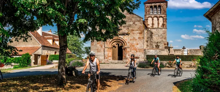
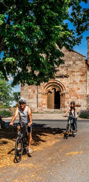
Beyond providing fine cycling, the Via Allier offers splendid opportunities for discovering the varied riches of the old Auvergne region, going at your own pace.

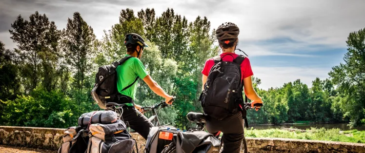
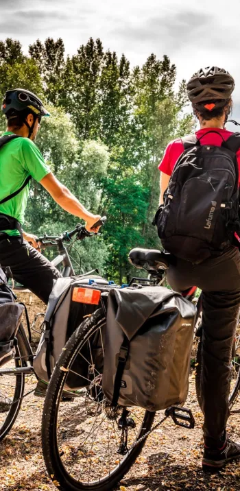
A cycle route mainly laid out along quiet country roads
The Via Allier cycle route generally leads you along quiet little roads. A 27km-long section of greenway already exists, at time of writing, between Billy and Saint-Yorre. Works are also under way along the Allier River as it passes through the wider Clermont-Ferrand urban area, extending from Pont-du-Château to Authezat (Domaine de Chadieu), so along a further 27km-long stretch. Initial works on this section began in September 2020 and are planned for completion mid-2023. Bit by bit, further sections of greenway will be added to the cycle route. As regards the kind of bike to use, a hybrid bike, a touring bike, a road bike or even a gravel bike are the most suitable types to tackle the route.

18 stages by which to organize your journey
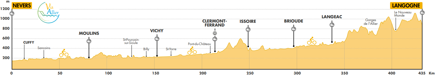
The Via Allier cycle route is divided up into 18 stages, each c.25km in length, on average. If you’re a seasoned cyclist, you could tackle two or even three stages in a day. The whole cycle route is 435km in length, going from Nevers to Langogne. Beginners, count between 8 and 14 days, so between 30km and 60km per day; seasoned cyclists, count around 7 days, so between 60km and 90km per day. An electric bike, or e-bike, can provide an easy way of covering the distances and easing the difficulties on the final third of the route.

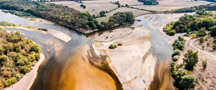
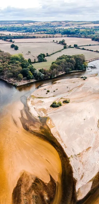
A cycle route with a demanding final third
From Nevers to Pont-du-Château, the Via Allier cycle route is accessible to a very wide range of cyclists. Although this portion is pretty easy to ride along in the main, there are some slopes to tackle. From Pont-du-Château south, the route becomes more challenging as you enter ancient volcanic terrain, which continues right up to Langogne. Along the final third, from Brioude to Langogne (c.135km), the Via Allier plunges you into the Allier Gorges and the shifts in altitude become more significant. This cycle route enables you to organize your own cycling adventure easily, including for a roaming adventure by bike or as part of an even greater cycling journey. And remember, opting for an e-bike can certainly make steeper sections that much easier to tackle.
View the shifts in altitude Consult our ideas along the route

SNCF (French national railways) train stations along the route
The fact that a good number of train stations are dotted along the Via Allier allows cyclists to join or leave the route easily at many points. This is practical for weekend excursions, making a round journey, or then skipping certain stages. The city of Nevers, at the start of the route, is fairly easy to reach by train. In contrast, Langogne, at the end of the route, is not so centrally located or well connected, but you can reach Clermont-Ferrand or Nîmes from Langogne by using the TER Cévenol regional line.

A cycle route linked to further cycle routes
The Via Allier links up with several other cycle routes, notably the Loire à Vélo at the Via Allier’s starting point in Nevers. To be more precise, it’s at the confluence of the Bec d'Allier that this cycle route meets the Loire à Vélo (going from Nevers to the Atlantic), the latter also part of the greater EuroVelo 6 - Véloroute des fleuves (from the Rhine to the Atlantic). At the town of Moulins, you can connect with the V75 cycle route, or Véloroute du Bourbonnais (going from EuroVelo 6 to the Cher Valley); and at Brassac-les-Mines you can connect with La Grande Traversée du Volcan à Vélo (going from the Allier Valley to the Lot Valley). Further cycle routes that are under construction at time of writing will in due course also connect with the Via Allier.


