4 stages · 99 km

Gradients and elevation

Ascents: 629m
Descents: 482m
Lowest point: 274m
Highest point: 650m

Road types

77km (77%) By road
22km (38%) Cycle path

Surface

64km (200%) Smooth

4 stages used

Puy-Guillaume / Pont-du-Château

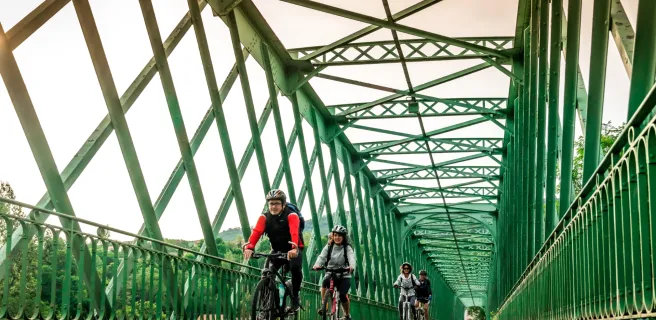
7 Puy-Guillaume / Pont-du-Château

32 km
2 h 06 min
I cycle often
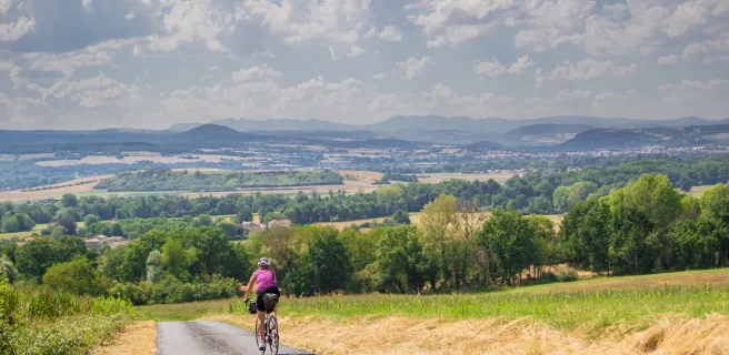
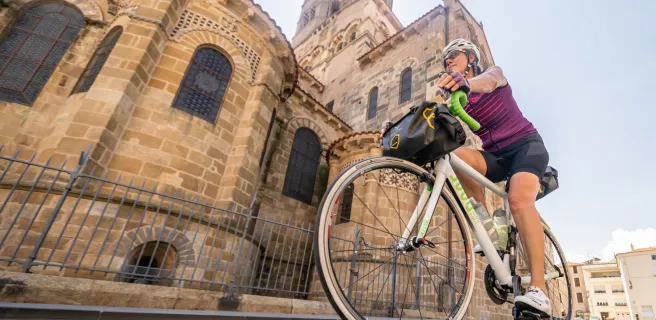
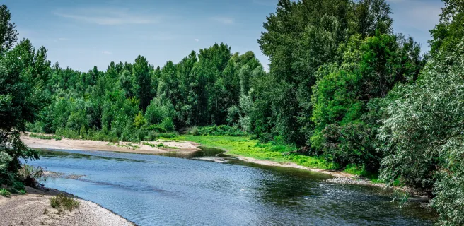
Along this Via Allier stage, you’ll become aware of the upcoming transition from the fertile Limagne Plain to the steeper ancient volcanic area extending out from the Chaîne des Puys, the extinct volcanic range towering above the Auvergne’s capital city, Clermont-Ferrand. The Allier River, so much wilder downstream, with its shifting banks, is constricted by narrow rocky sides further upstream. This stage is dotted with dovecotes. Close by, the Maringues tanneries make a picturesque architectural scene, while the Musée de la Céramique in Lezoux relates how this town’s renown spread far and wide back in Antiquity, thanks to its production of sigillated pottery. Pont-du-Château, the historic port of the Clermont area, is the stopover point for this stage.
Pont-du-Château / Vic-le-Comte

8 Pont-du-Château / Vic-le-Comte

27 km
1 h 37 min
I begin / Family
On this stage of the Via Allier cycle route, you start to climb a fair bit, enjoying a fine ride, with the Chaîne des Puys volcanic range as backdrop. The charming towns and villages of the wider area here, known as La Comté, boast a rich and varied architectural heritage to enjoy as your legs get a good work-out. Get your breath back as you visit the fortified village of Chauriat or then the Château de Busséol, perched on its rocky outcrop and offering splendid views. You’ll also cross lands producing AOC Côtes d’Auvergne wines. At the end of this stage, the town of Vic-le-Comte and its church of St Peter are worth a longer stop.
Vic-le-Comte / Issoire

9 Vic-le-Comte / Issoire

14 km
54 min
I cycle often
On this Via Allier stage, very visible ancient volcanic lava flows give a distinctive look to the terrain, with steep little valleys overseen by sharp little rocky peaks, the heights often occupied by a hill village, a château or a chapel. Around these parts, arkose, a pale stone made from sandstone and feldspar, predominates, contrasting with the darker basalt further north. In the distance, the serrated mountain tops of the Sancy Range can be made out on clear days. Enjoy the long descent leading down to the town of Issoire and the banks of the Allier River. Make the most of a stop in Issoire, observing its colourful southern French façades and its extraordinary abbey church of Saint-Austremoine, a gem of Auvergne Romanesque art.
Issoire / Brassac-les-Mines

10 Issoire / Brassac-les-Mines

27 km
1 h 48 min
I cycle often
On this hillier Via Allier stage, you’re reminded of the daily graft of bygone days, when miners extracted coal from underground mines, the merchandise then being placed on sapinières, large, flat rudimentary boats made from pine wood, that were then guided downstream along Allier and Loire Rivers. Riding along, enjoy glimpses of the distant Sancy and Cantal mountain ranges. The route alternates between steep little valleys and rocky outcrops beside which you’ll find remarkable villages such as Nonette, Usson, with its volcanic organ-pipe geology, and Bansat, an extremely picturesque fortified spot. Another curiosity to admire is the Parentignat suspension bridge spanning the Allier, built in the 1830s, now a listed historic monument.
Afficher les étapes